Cartes de Pandua
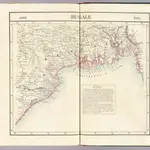 1827|Vandermaelen, Philippe, 1795-18691:1 641 836
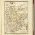 1831|Society for the Diffusion of Useful Knowledge (Great Britain)1:2 200 000
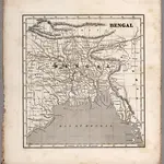 1848|Morse, Sidney E.1:4 000 000
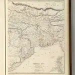 1848|Sharpe, J.1:3 380 000
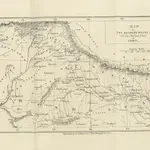 1844|Greenwood, John Lt
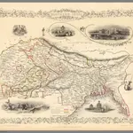 1851|Tallis, J. & F.1:9 000 000
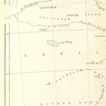 1871|SHAW, Robert Barkley.
Anciennes cartes de Pandua
Découvrez le passé de Pandua sur des cartes historiques
Anciennes cartes de Pandua
Découvrez le passé de Pandua sur des cartes historiques
À la recherche d'un Alternative à l'API Google Maps?