
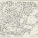
RAF Aerial Collection (1945 - 1949)
1946
RAF
1:5k

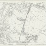
RAF Aerial Collection (1945 - 1949)
1947
RAF
1:5k

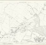
RAF Aerial Collection (1945 - 1949)
1947
RAF
1:5k

RAF Aerial Collection (1945 - 1949)
1946
RAF
1:5k
Essex (New Series 1913-) n LXXVIII.2 (includes: Woodford) - 25 Inch Map
1940
Ordnance Survey
1:3k
Essex (New Series 1913-) n LXXVIII.2 (includes: Woodford) - 25 Inch Map
1915
Ordnance Survey
1:3k

RAF Aerial Collection (1945 - 1949)
1947
RAF
1:5k
Essex (1st Ed/Rev 1862-96) LXV.8 (includes: Buckhurst Hill; Chigwell; Ilford; Woodford) - 25 Inch Map
1895
Ordnance Survey
1:3k

A colored plan, on vellum, of ""Luxbrough and Cocksall's Farms, situate in the parish of Chigwell and county of Essex; being the estate of Sir Joseph Eyles, Kent; surveyed and delineated by Thos. Browne, Gent., Blanch Lyon, Pursuivant of Arms, Anno Dom. 1727;"" with a separate plan of ""Browning's and Bird's Farms, situate in the manor of Wolston Hall and parish of Chigwell;"" drawn on a scale of 4 chains (of 72 yards) to an inch: the arms of Eyles impaling those of [Egerton?] are emblazoned at the top.
1727

Essex LXV.NE - OS Six-Inch Map
1894
Ordnance Survey
1:11k
伍德福德的老地图
在历史地图上发现 伍德福德 的过去
伍德福德的老地图
在历史地图上发现 伍德福德 的过去
寻找 谷歌地图应用程序接口替代方案?