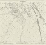
Westmorland XV.3 (includes: Appleby; Hoff; Murton) - 25 Inch Map
1911
Ordnance Survey
1:3k
Westmorland XV.3 (includes: Appleby; Hoff; Murton) - 25 Inch Map
1897
Ordnance Survey
1:3k
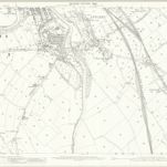
Westmorland IX.15 (includes: Appleby; Crackenthorpe; Long Marton; Murton) - 25 Inch Map
1911
Ordnance Survey
1:3k
Westmorland IX.15 (includes: Appleby; Crackenthorpe; Long Marton; Murton) - 25 Inch Map
1897
Ordnance Survey
1:3k
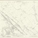
Westmorland XV.2 (includes: Appleby; Colby; Hoff) - 25 Inch Map
1913
Ordnance Survey
1:3k
Westmorland XV.2 (includes: Appleby; Colby; Hoff) - 25 Inch Map
1897
Ordnance Survey
1:3k
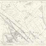
Westmorland IX.14 (includes: Appleby; Bolton; Colby; Crackenthorpe) - 25 Inch Map
1913
Ordnance Survey
1:3k

Westmorland XV.NE - OS Six-Inch Map
1911
Ordnance Survey
1:11k

Westmorland XV.NE - OS Six-Inch Map
1897
Ordnance Survey
1:11k

Westmorland IX.SE - OS Six-Inch Map
1938
Ordnance Survey
1:11k
威斯摩蘭阿普比的老地图
在历史地图上发现 威斯摩蘭阿普比 的过去
威斯摩蘭阿普比的老地图
在历史地图上发现 威斯摩蘭阿普比 的过去
寻找 谷歌地图应用程序接口替代方案?